<template>
  <div id="map">
  	<el-button
          class="button"
          size="mini"
          round
          :type="active==1?'success':'primary'"
          @click="handleSwitchMap('roadmap')"
          >地图</el-button
        >
        <el-button
          class="button"
          size="mini"
          round
          :type="active==2?'success':'primary'"
          @click="handleSwitchMap('satellite')"
          >卫星</el-button
        >
  </div>
</template>

<script>
import "ol/ol.css";
import {

       Map, View} from "ol";
import {

      Vector as VectorSource} from "ol/source";
import {

      Vector as VectorLayer, Tile as TileLayer } from "ol/layer";
import XYZ from "ol/source/XYZ";
export default {


  data() {


    return {


      map: null,
      roadmap: null,
      satellite: null,
      vectorLayer: null, //创建图层
      vectorSource: null, //图层数据容器
    }
  },
  methods: {


    initMap() {


      let _self = this;
      //线路图
      this.roadmap = new TileLayer({


        visible: true,
        name: '电子图',
        source: new XYZ({


          url: baseUrl+"/tiles/ZhengZhouShi/roadmap/{z}/{x}/{y}.png",
          crossOrigin: "anonymous", //离线瓦片跨域处理
        }),
      });
      //卫星图
      this.satellite = new TileLayer({


        visible: false,
        name: '卫星图',
        source: new XYZ({


          url: baseUrl+"/tiles/ZhengZhouShi/satellite/{z}/{x}/{y}.png",
          crossOrigin: "anonymous",
        }),
      });

      this.map = new Map({


        target: "map",
        layers: [this.roadmap, this.satellite],
        view: new View({


          center: [114.028222,31.914839],
          projection: "EPSG:4326",
          zoom: 14,
          minZoom: 12,
          maxZoom: 17,
        }),
      });

      // 创建图层
      this.vectorLayer = new VectorLayer();
      // 创建数据容器
      this.vectorSource = new VectorSource();
      // 把数据容器添加到图层
      this.vectorLayer.setSource(this.vectorSource);
      // 添加到地图上
      this.map.addLayer(this.vectorLayer);
    },
    /**图层切换 */
    handleSwitchMap(type) {


      switch (type) {


        case "roadmap":
          this.roadmap.setVisible(true);
          this.satellite.setVisible(false);
          this.active = 1;
          break;
        case "satellite":
          this.roadmap.setVisible(false);
          this.satellite.setVisible(true);
          this.active = 2;
          break;
      }
    },
  }
};
</script>

<style scoped lang="scss">
	#map{


		width: 100%;
		height: 800px;
	}
</style>
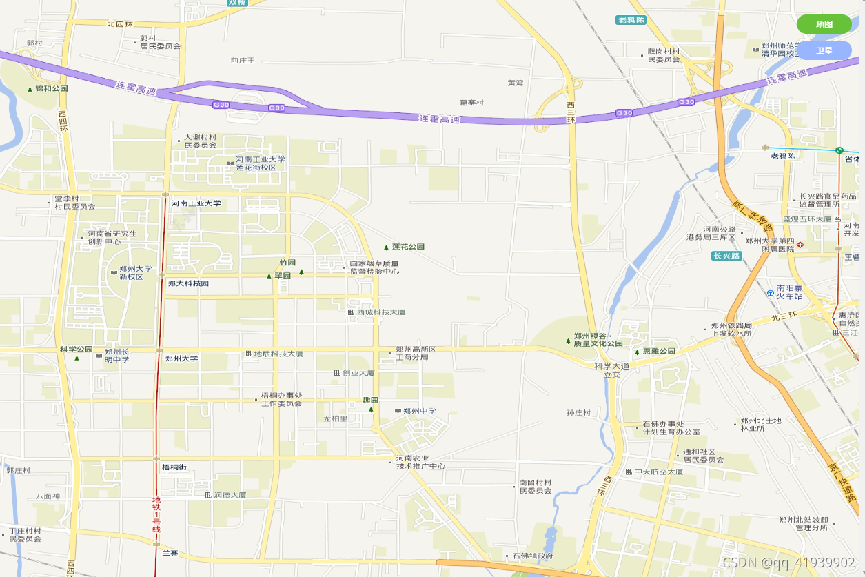
效果图

