GF6-WFV数据预处理
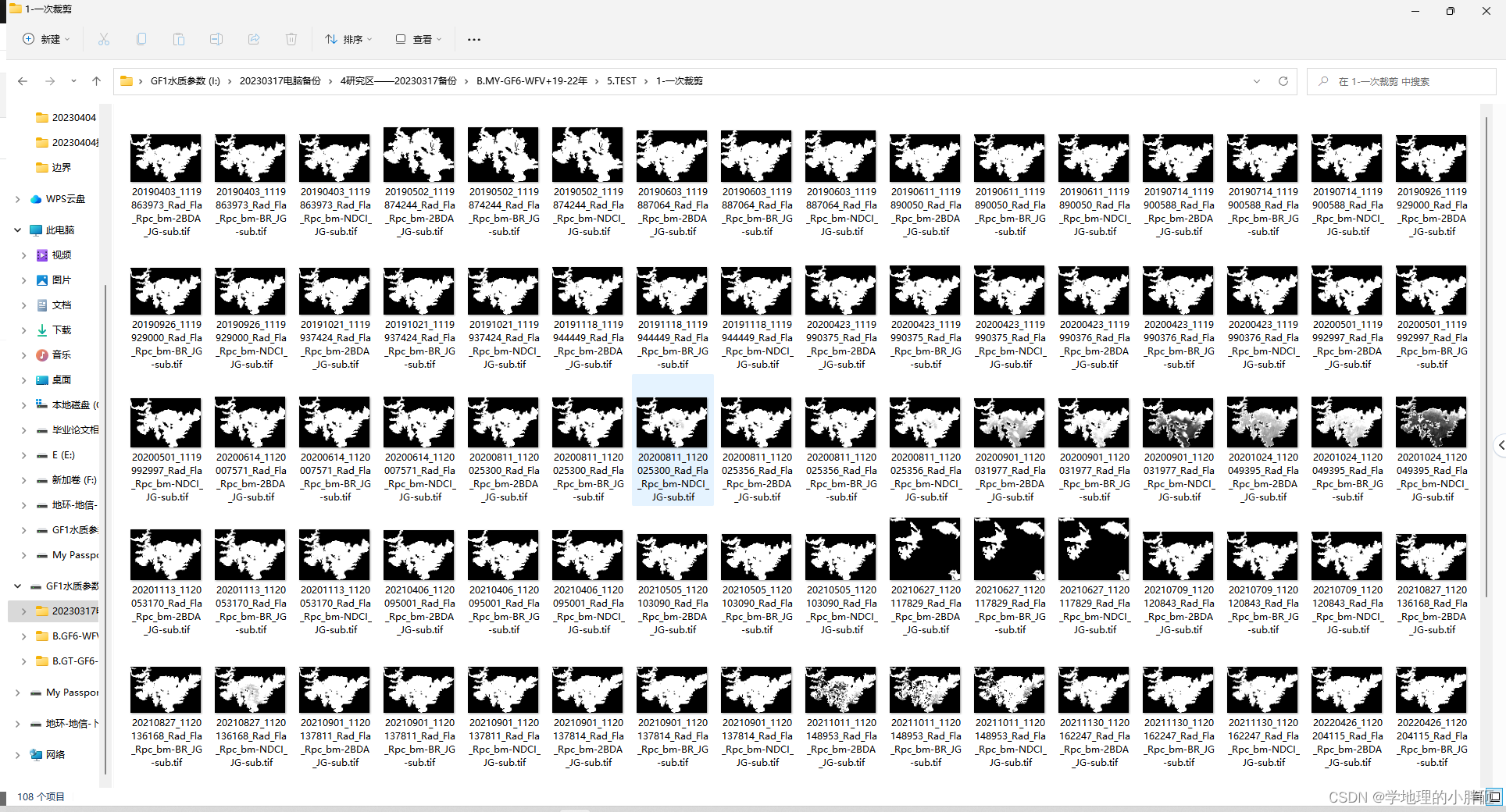
1.GF6-WFV数据——第一次裁剪(sub)
这一块主要是在上一步的基础上,进行水体边界提取裁剪(sub),提取每一景影像的水体,每一景影像目视解译一个水体边界(shp)。将预处理后的数据和水体边界存在同一个文件夹之中,使用程序进行批量裁剪(sub)。
数据_Rad_Fla_Rpc_bm-XX-JG-sub.dat——3个比值指数计算结果
2.数据_Rad_Fla_Rpc_bm-XX-JG-sub.dat——3个比值指数计算结果——在这个基础上,通过直方图找到大多数数据的最大值,进行一个去除(0.1%——1%)的操作——红框内容类似去除那一段
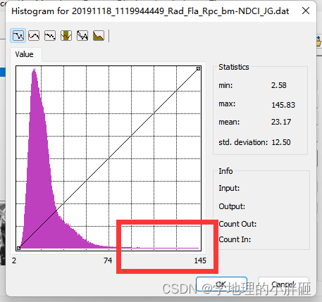
数据_Rad_Fla_Rpc_bm-XX-JG-sub-q1.dat——3个比值指数计算结果去除(0.1%——1%)的结果
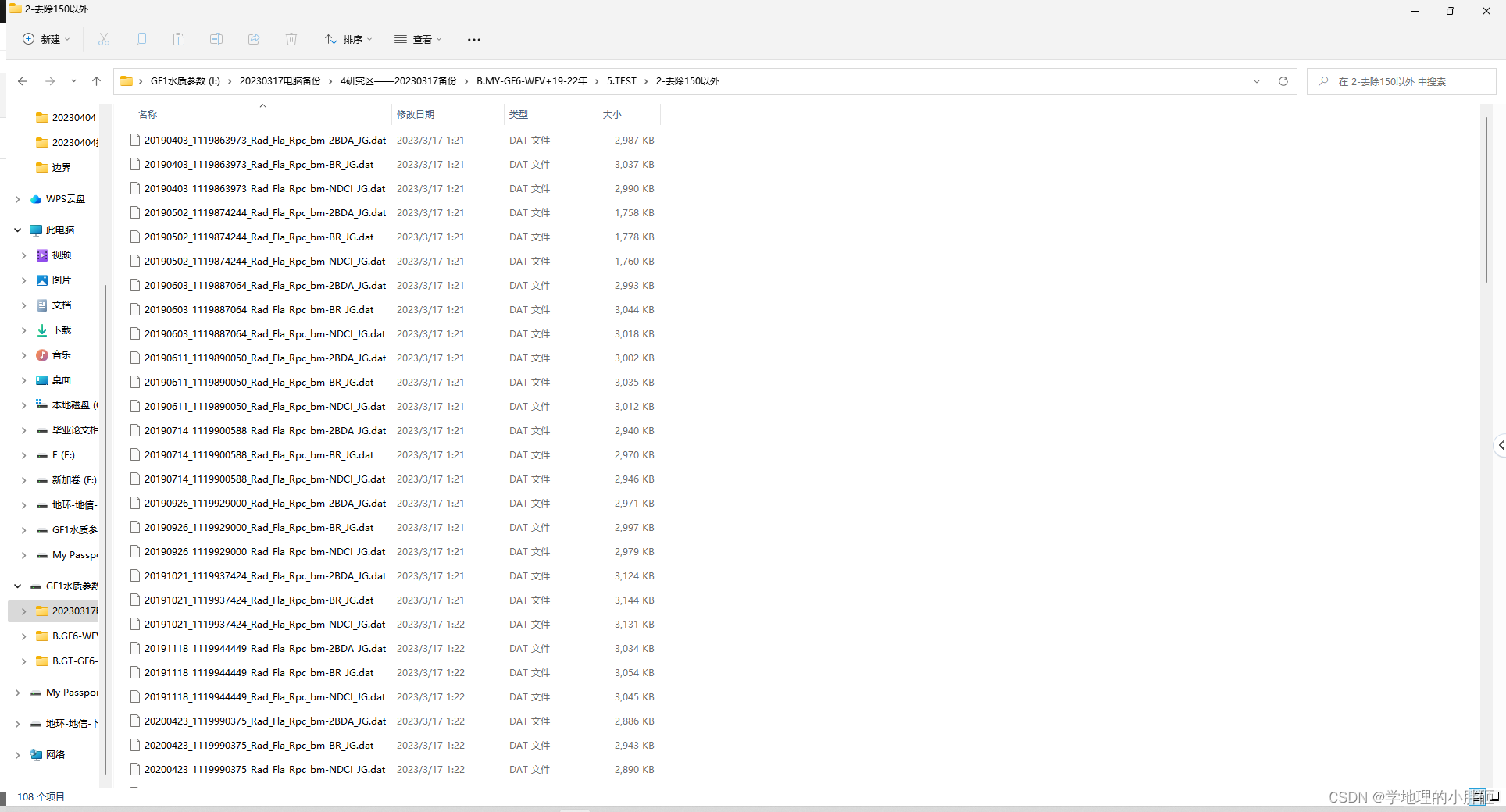
数据_Rad_Fla_Rpc_bm-XX-JG-sub-q1.dat——3个比值指数计算结果去除(0.1%——1%)的结果——出现背景值
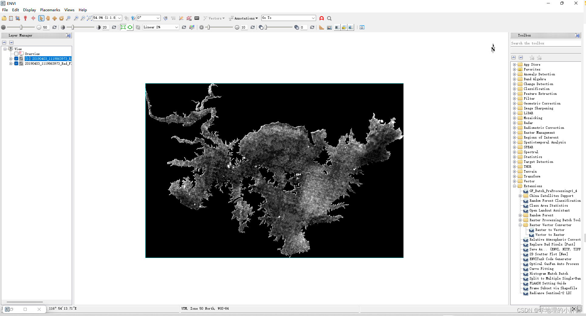
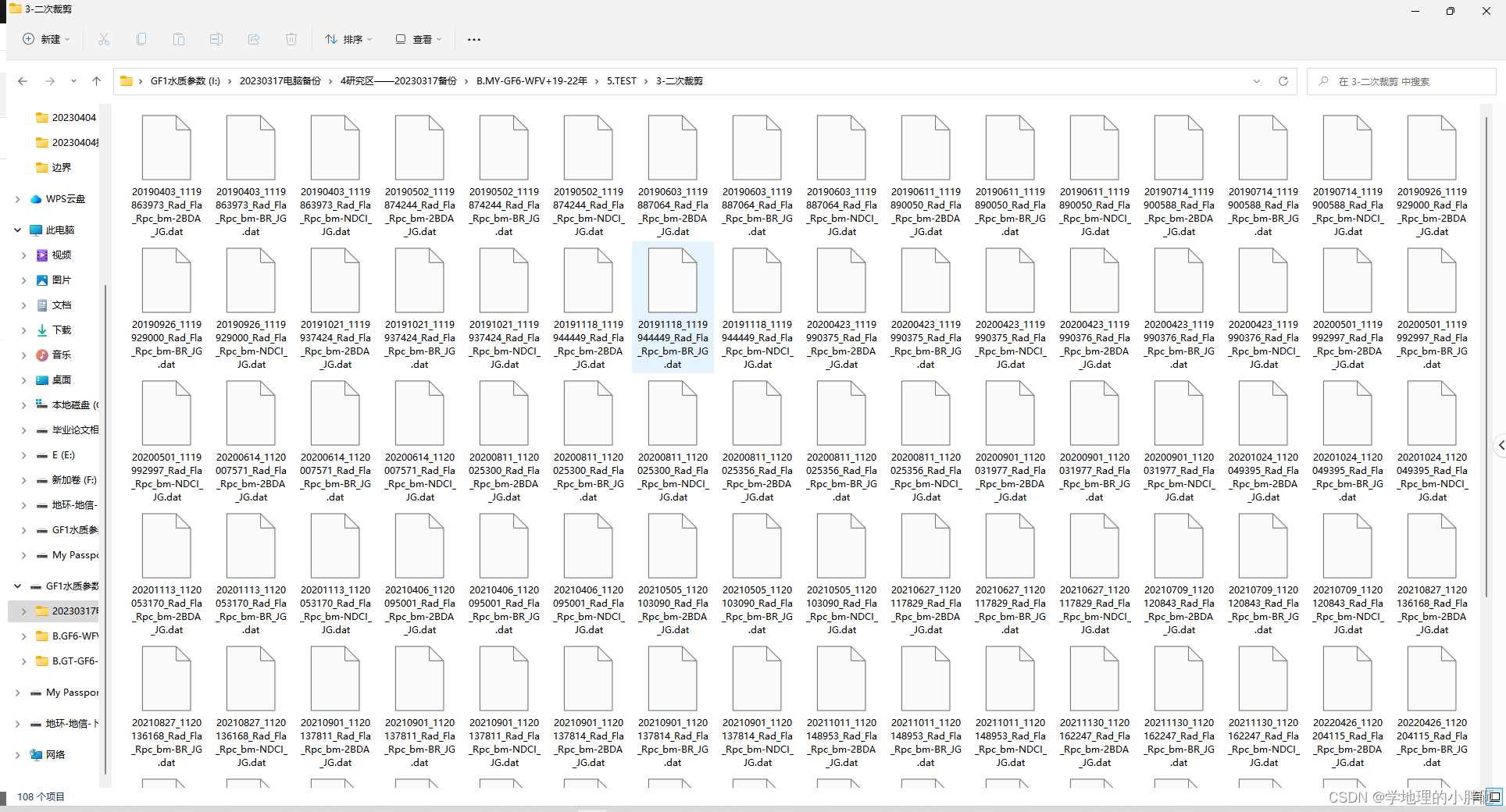
3.GF6-WFV数据——第二次裁剪(clip)
这一块主要是在上一步的基础上,进行水体边界提取裁剪(clip),依旧是因为上一步过程后,数据存有(黑色背景)——依旧使用之前的每一景影像目视解译一个水体边界(shp)进行二次裁剪。
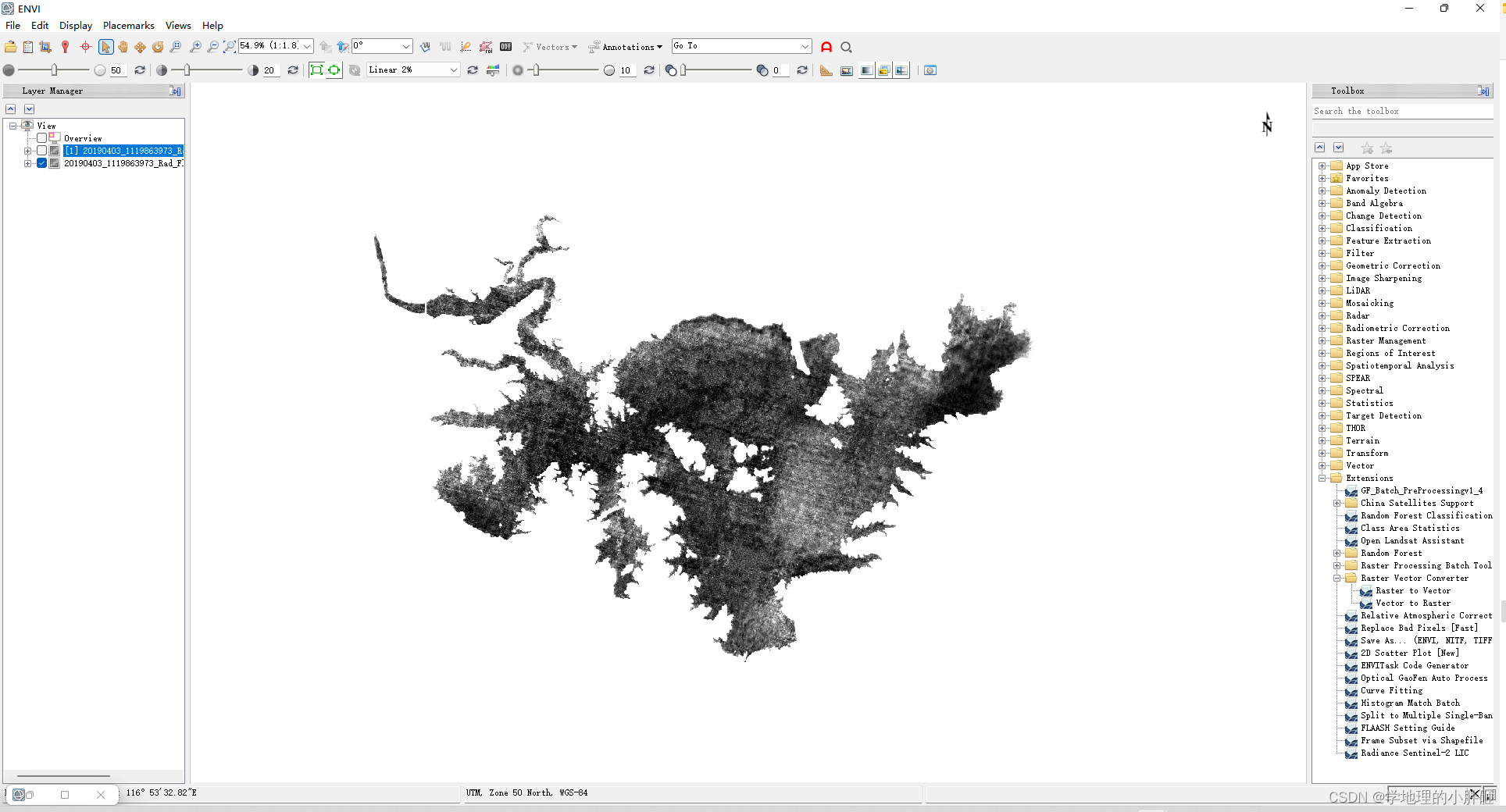
数据_Rad_Fla_Rpc_bm-XX-JG-sub-q1.dat——3个比值指数计算结果去除(0.1%——1%)的结果——出现背景值——二次裁剪就是为了解决这个问题,免得逐个进行背景值忽略(ignore background data)
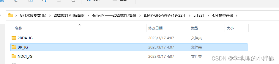
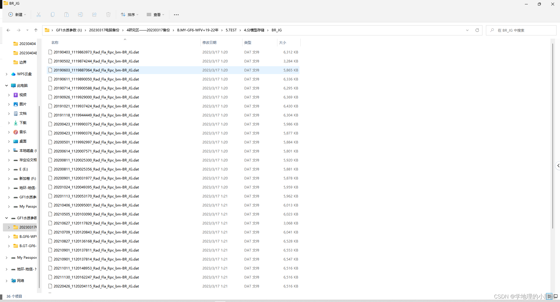
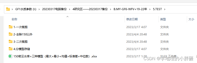
4.GF6-WFV数据在第二次裁剪后实现分模型存储
数据3个比值指数计算结果中的1个
最终得到这样一个结果
以上内容Pthon实现——具体代码如下:
import os
import numpy as np
from osgeo import gdal
import sys
import cv2
from tqdm import tqdm

# import ipdb

def cv_to_gdal(filename, img, datatype):
    if len(img.shape) < 3:
        img = img.reshape(img.shape[0], img.shape[1], 1)

    im_data = img.transpose(2, 0, 1)

    im_bands, im_height, im_width = im_data.shape

    band_list = [i + 1 for i in range(im_bands)]
    if im_bands == 3:
        band_list = [4 - i for i in band_list]

    driver = gdal.GetDriverByName('GTiff')
    dataset = driver.Create(filename, im_width, im_height, im_bands, datatype)
    for i in range(im_bands):
        dataset.GetRasterBand(band_list[i]).WriteArray(im_data[i])
    del dataset


def write_gdal(filename, img, datatype, img_geotrans, img_proj, big_tiff=False):
    if len(img.shape) < 3:
        im_bands = 1
        im_height, im_width = img.shape
        img = img.reshape( img.shape[0], img.shape[1],1)
    else:
        im_height, im_width, im_bands = img.shape

    band_list = [i + 1 for i in range(im_bands)]
    if im_bands == 3:
        band_list = [4 - i for i in band_list]

    driver = gdal.GetDriverByName('GTiff')
    big_tiff_str = "YES" if big_tiff == True else "NO"

    dataset = driver.Create(filename, im_width, im_height, im_bands, datatype,
                            options=['BigTIFF={}'.format(big_tiff_str), 'COMPRESS=LZW'])
    # ipdb.set_trace()
    # print(img.shape)
    for i in range(im_bands):
        dataset.GetRasterBand(band_list[i]).WriteArray(img[..., i])

    dataset.SetGeoTransform(img_geotrans)
    dataset.SetProjection(img_proj)
    dataset.BuildOverviews('Nearest', [2, 4, 8, 16, 32, 64, 128])

    del dataset


def read_img(filepath):
    dataset = gdal.Open(filepath)
    if dataset is None:
        print('FATAL: GDAL open file failed. [%s]' % filepath)
        sys.exit(1)
    img_width = dataset.RasterXSize
    img_height = dataset.RasterYSize
    img_nbands = dataset.RasterCount

    img_geotrans = dataset.GetGeoTransform()
    img_proj = dataset.GetProjection()

    # print(img_nbands)

    band_list = [i + 1 for i in range(img_nbands)]
    if img_nbands == 3:
        band_list = [4 - i for i in band_list]

    data_type = gdal.GDT_Byte
    for i in range(img_nbands):
        band = dataset.GetRasterBand(band_list[i])
        data_type = band.DataType
        if data_type == gdal.GDT_Byte:
            img_arr = band.ReadAsArray(0, 0, img_width, img_height).astype(np.uint8)
        elif data_type == gdal.GDT_UInt16:
            img_arr = band.ReadAsArray(0, 0, img_width, img_height).astype(np.uint16)
        elif data_type == gdal.GDT_Int16:
            img_arr = band.ReadAsArray(0, 0, img_width, img_height).astype(np.int16)
        elif data_type == gdal.GDT_UInt32:
            img_arr = band.ReadAsArray(0, 0, img_width, img_height).astype(np.uint32)
        elif data_type == gdal.GDT_Int32:
            img_arr = band.ReadAsArray(0, 0, img_width, img_height).astype(np.int32)
        elif data_type == gdal.GDT_Float32:
            img_arr = band.ReadAsArray(0, 0, img_width, img_height).astype(np.float32)
        elif data_type == gdal.GDT_Float64:
            img_arr = band.ReadAsArray(0, 0, img_width, img_height).astype(np.float64)
        else:
            print('ERROR: GDAL unknown data type. []')

        if i == 0:
            img_array = img_arr.reshape((img_height, img_width, 1))
        else:
            img_arr_reshape = img_arr.reshape((img_height, img_width, 1))
            img_array = np.append(img_array, img_arr_reshape, axis=2)

    return img_array, data_type, img_geotrans, img_proj
if __name__ == '__main__':
    img_path= r"E:\4研究区——20230317备份\test\新建文件夹"
    out_path_med=r"E:\4研究区——20230317备份\test\1-一次裁剪"
    out_path_med_med=r"E:\4研究区——20230317备份\test\2-去除99.9以外150"
    out_path_last= r"E:\4研究区——20230317备份\test\3-二次裁剪"
    number_th=99.5

#20190403_1119863972.shp
    for file in tqdm(os.listdir(img_path)):
        file_name=os.path.join(img_path,file)
        for file_name_name in os.listdir(file_name):
            if file_name_name.endswith(".shp"):
                shp_path=os.path.join(file_name,file_name_name)
            if file_name_name.endswith(".dat"):
                img_path_out_med=os.path.join(out_path_med,file_name_name.replace(".dat","-sub.tif"))
                file_name_name_img=os.path.join(file_name,file_name_name)
                # 第一次裁剪
                ds = gdal.Warp(img_path_out_med, file_name_name_img, format='GTiff', cutlineDSName=shp_path,
                               cropToCutline=True, dstNodata=0)

                #过滤异常值
                img_array, data_type, img_geotrans, img_proj = read_img(img_path_out_med)

                #百分比剔除
                high = np.percentile(img_array, number_th)

                #固定值剔除
                # high = number_th


                img_array[img_array > high] = 0
                out_path_med_med_abs=os.path.join(out_path_med_med,file_name_name.replace("-sub.tif","-sub-tc.tif"))
                write_gdal(out_path_med_med_abs,img_array,data_type,img_geotrans,img_proj)

                #第二次裁剪
                out_path_last_abs=os.path.join(out_path_last,file_name_name.replace("-sub-tc.tif","-sub-tc-clip.tif"))
                ds = gdal.Warp(out_path_last_abs, out_path_med_med_abs, format='GTiff', cutlineDSName=shp_path,
                               cropToCutline=True, dstNodata=0)