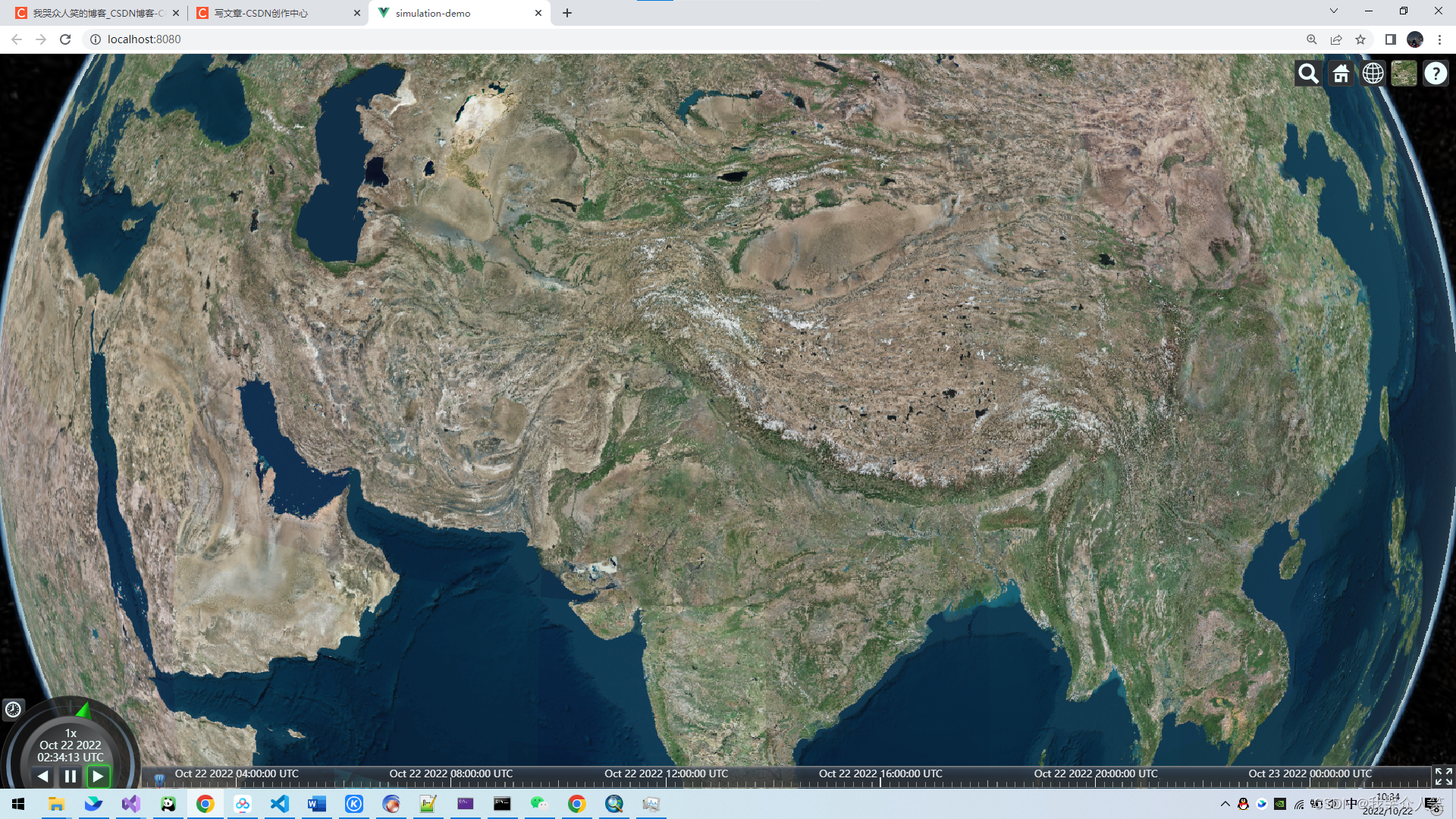
如上图问题,需要将tif文件的投影坐标转为地理坐标
打开arcgis,加载tif文件,选择数据管理工具->投影和变换->栅格->投影栅格
选择 地理坐标系 wgs84,保存

处理完成后,导出

删除.tfw文件,然后在geoserver中发布


成功解决
附批量发布python脚本
#--*--coding:utf-8--*--
#使用说明:
#只需要调用下面的autoPush这个函数,修改里面的两个参数
#参数说明:geoserverWorkeName为geoserver工作空间名称,fileName为tif存放文件夹名称
import os


def autoPush(geoserverWorkeName,fileName):
    namespace = geoserverWorkeName
    # 要发布的文件夹名称
    train_path = fileName
    # 遍历文件夹中为.tif后缀的文件,获取其路径
    tif_list = [os.path.join(train_path, i) for i in os.listdir(train_path) if i.endswith('.tif')]
    for onetif in tif_list:
        fpname=onetif
        fname = os.path.split(fpname)[-1]  #获取每个tif的名字
        # os.system('curl -v -u admin:geoserver -XPOST -H "Content-type: text/xml" -d "<workspace><name>'+namespace+'</name></workspace>" http://localhost:8080/geoserver/rest/workspaces')
        # 发布tif
        os.system('curl -u admin:geoserver -XPUT -H "Content-type:image/tiff" --data-binary @'+fpname+' http://localhost:8080/geoserver/rest/workspaces/'+namespace+'/coveragestores/'+fname+'/file.geotiff')
        # url = 'http://localhost:8083/geoserver/'+namespace+'/wms?service=WMS&version=1.1.0&request=GetMap&layers='+namespace+':'+fname+'&styles=&bbox=395085.0,5292585.0,630615.0,5531415.0&width=757&height=768&srs=EPSG:32653&format=application/openlayers'

print('333')
autoPush("fz1004",r'D:\GeroServer\geoserver-2.18.0-bin\data_dir\data\mymap\影像\中国L12级30米分辨率')
C#批量向图层组添加图层脚本
using System;
using System.Collections.Generic;
using System.IO;
using System.Linq;
using System.Text;
using System.Threading.Tasks;
using System.Xml;
using static System.Net.WebRequestMethods;

namespace ConsoleApp1
{
    internal class Program
    {

        static string WebApiConfigPath = "D:\\GeroServer\\geoserver-2.18.0-bin\\data_dir\\layergroups\\fz_layers.xml";
        static void Main(string[] args)
        {
            string s = null;
            DirectoryInfo d = new DirectoryInfo("D:\\GeroServer\\geoserver-2.18.0-bin\\data_dir\\gwc-layers");
            FileInfo[] files = d.GetFiles("*.xml");
            List<string> lstr = new List<string>();

            foreach (FileInfo file in files)
            {
                s = file.Name.Replace(".xml", "");
                s = s.Replace("_", ":");

                if (s.Contains("LayerInfoImpl") && !s.Contains("--"))
                {
                    lstr.Add(s);
                }
            }

            //LayerInfoImpl-62bb30a8_183a2cb7f9a_-7ffc
            //LayerInfoImpl-62bb30a8:183a2cb7f9a:-7ffc
            XmlDocument xmlDoc = new XmlDocument();
            xmlDoc.Load(WebApiConfigPath);
            XmlNode root = xmlDoc.SelectSingleNode("layerGroup");

            //foreach (string strname in lstr)
            for (int i = 0; i < lstr.Count; i++)
            {
                //if (i < 1)
                {
                    foreach (XmlNode nodec in root)
                    {
                        if (nodec.Name == "publishables")
                        {

                            XmlElement publishabElement = xmlDoc.CreateElement("published");
                            publishabElement.SetAttribute("type", "layer");
                            XmlElement idElement = xmlDoc.CreateElement("id");

                            //string sss = lstr[i];
                            idElement.InnerXml = lstr[i];

                            publishabElement.AppendChild(idElement);
                            nodec.AppendChild(publishabElement);
                        }
                        if (nodec.Name == "styles")
                        {

                            XmlElement styleElement = xmlDoc.CreateElement("style");
                            XmlElement idElement = xmlDoc.CreateElement("id");
                            idElement.InnerXml = "StyleInfoImpl--570ae188:124761b8d78:-7fe2";

                            styleElement.AppendChild(idElement);
                            nodec.AppendChild(styleElement);
                        }
                    }
                }
            }
            //需要保存修改的值
            xmlDoc.Save(WebApiConfigPath);
            xmlDoc = null;
        }
    }
}

geoserver切片缓存后,cesium加载,就可以看到影像了