https://map.vanbyte.com provides free provincial, municipal and county level 3 administrative boundary data (GeoJSON format), and province, city, county and township level 4 linkage data.
As for the source of administrative division boundary data, there are various tutorials on the Internet. It is better to teach a man how to fish than to give him a fish. Here are the specific steps of each method.
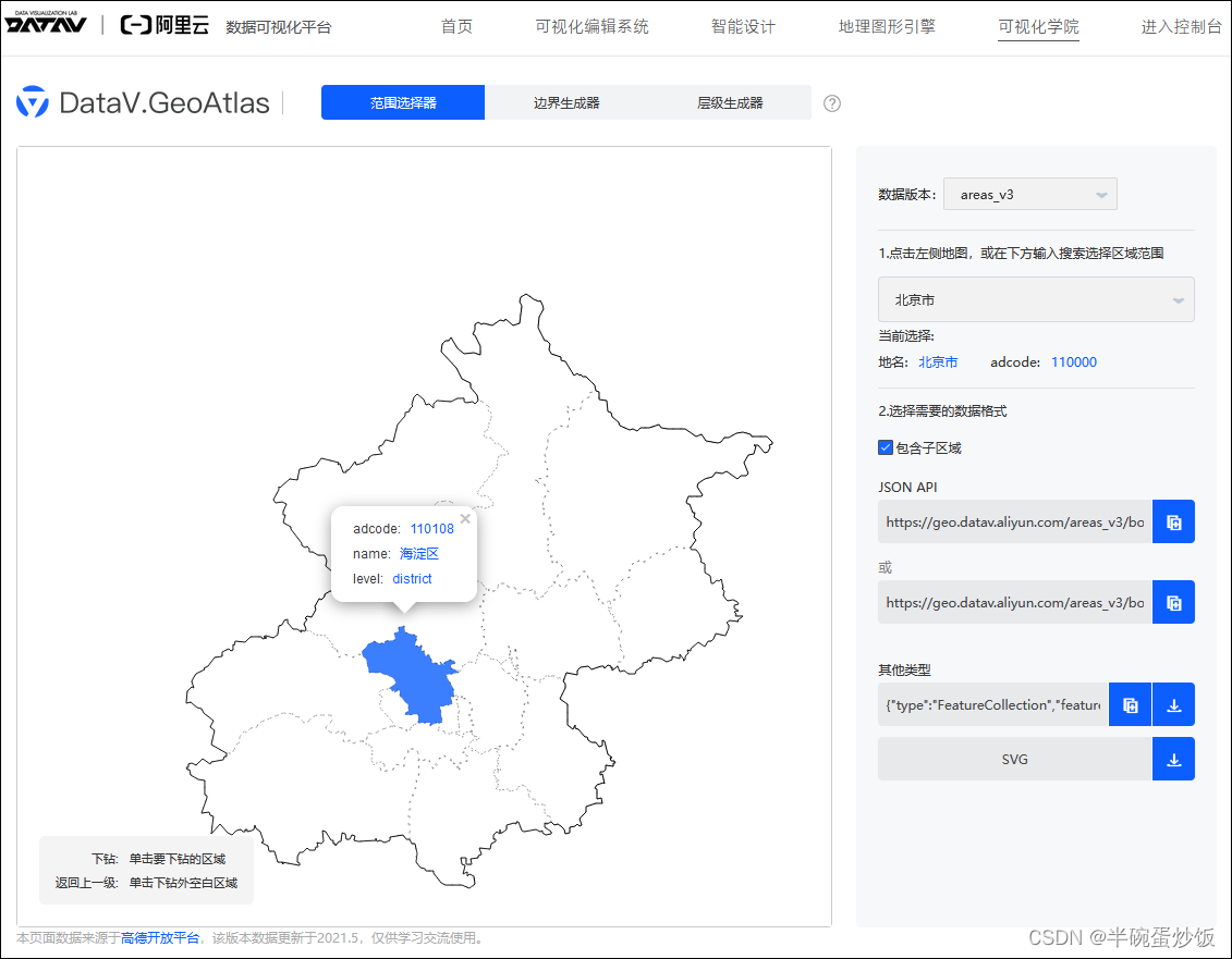
Source 1: Alibaba Cloud's data visualization platform
Through <Alibaba Cloud's data visualization platform> http://datav.aliyun.com/tools/atlas, you can download the administrative division boundary data (GeoJSON format) at the provincial, municipal and county levels across the country. The source of the data is Gaode Development Platform, and the data was last updated in May 2021. Unfortunately, this platform does not contain boundary data for township streets.
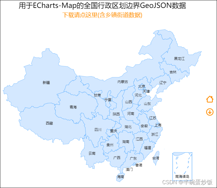
Now you can download the <Alibaba Cloud's Data Visualization Platform> data packages through https://map.vanbyte.com, you don't need to download them one by one. The data package includes 3-level administrative boundary data of provinces, cities and counties (GeoJSON format), and 4-level linkage data of provinces, cities, counties and townships.
Source 2: BIGEMAP Almighty Edition + geojson.io
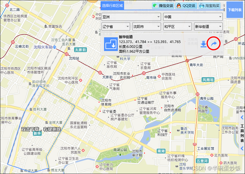
1. Download BIGMAP Almighty Edition

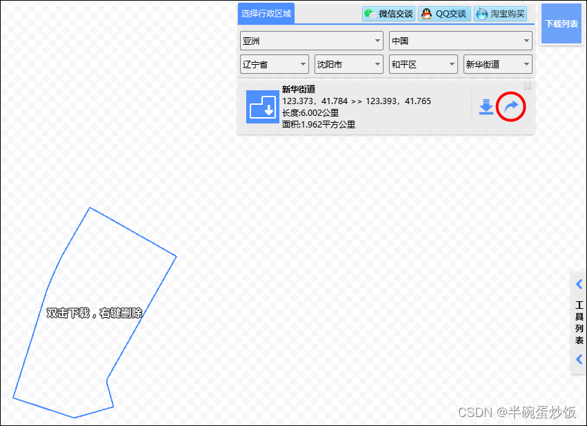
2. Export kml data in the upper right corner (move the mouse to the upper right corner)
3. Convert to GeoJSON data on the website geojson.io
Open the geojson.io website, and import the kml file just now from the menu Open->File in the upper left corner. At this point you can see the GeoJSON data on the right.
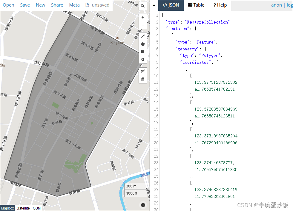
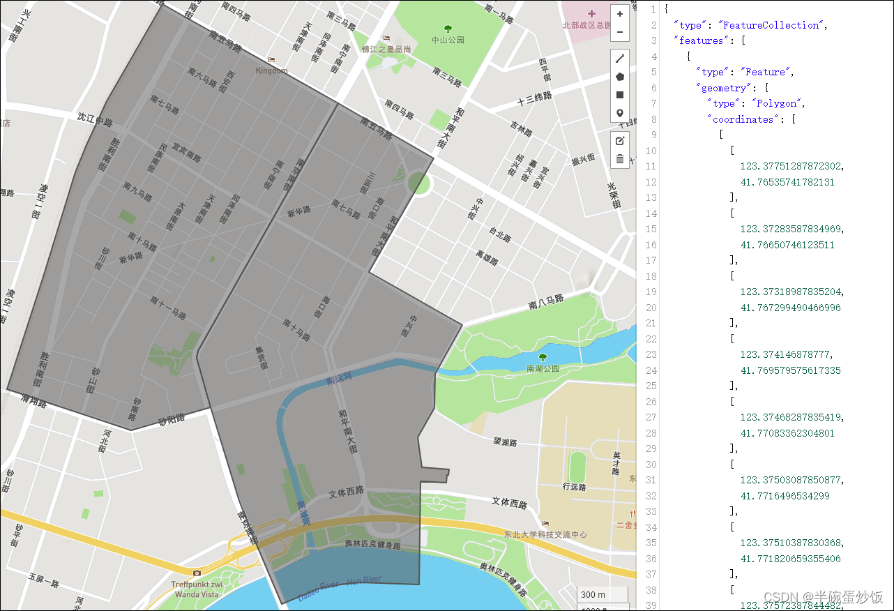
You can import multiple kml files and stitch multiple regions, as shown in the figure below. After importing all the required areas into stitching, copy the data on the right and save it as a .json file.
Source 3: National Geographic Information Public Service Platform Tiandi Tiandi
National Geographic Information Public Service Platform https://www.tianditu.gov.cn/ [Provincial nodes], some provinces provide border data of townships and streets. For details on how to obtain it, you can search for it. However, due to the continuous upgrade of the Tiandi map system itself, some of the acquisition methods announced on the Internet may no longer be valid.
Source 4: https://map.vanbyte.com
https://map.vanbyte.com has made a lot of updates for the data in recent years; the provided GeoJSON file has compressed coordinates data, which can greatly reduce network traffic.
————————————————
Copyright statement: This article is the original article of CSDN blogger "Half Bowl of Egg Fried Rice", following the CC 4.0 BY-SA copyright agreement, please attach the original source link for reprinting and this statement.
Original link: https://blog.csdn.net/BigTony/article/details/122933109