To learn more about Python & GIS, please visit the official account GeodataAnalysis.
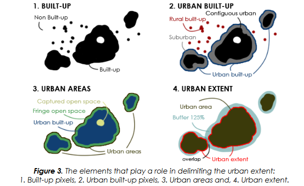
When I was writing a thesis before, I saw a method for calculating the city boundary. The general process is as follows. First, identify the built-up area units; then remove the rural built-up area units; then create a buffer for each unit, and each unit after the buffer The area is 125% of the original area; finally, a built-up area unit is set as the city core (main urban area), and it is judged whether the buffer zone of other built-up area units intersects with the buffer zone of the main urban area, and if so, it is merged with the main urban area Considered together as part of the city, their boundaries are the boundaries of the city. The flow chart is roughly as follows:
I just needed to use one of these methods, which is the subject of this article, to create buffer polygons proportional to area.
It is very simple to create a buffer zone, no matter you use ArcGIS or any other tool, just specify a distance and click to run. But the key is how to determine this distance? It is not easy to determine the buffer distance just by knowing the area ratio, because the original polygon is not necessarily regular.
Just passed the internal test of New Bing today, let's use this question to try its ability of searching and summarizing.
First ask it directly, look at the results and find that every sentence is correct, but it is not correct when connected together. In other words, its answer is completely irrelevant to my question and cannot solve my problem.

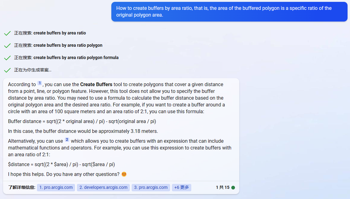
Try asking it in detail. The answer this time seems to be much more detailed, following the solution using two different tools. First look at the ArcGIS solution it gave, and said which tool of ArcGIS to use to create a buffer, and also know how to create a buffer by field, but the problem still fails to solve the most critical problem, that is, only knowing the area ratio cannot Determine the buffer distance . Take a look at the QGIS solution it gave, and after a lot of talking, it's still the same problem.

Translate this question into English and search on Google. On the first webpage, there is a tool for creating buffer polygons according to the area ratio that we are going to introduce in this article.
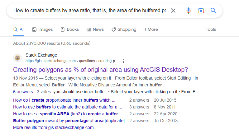
Ask him again in the same English, maybe his English database is more complete. This time it also didn't give a solution, but one thing is right, you need to use a mathematical formula to calculate the buffer distance based on the ratio of the original polygon area to the required area.
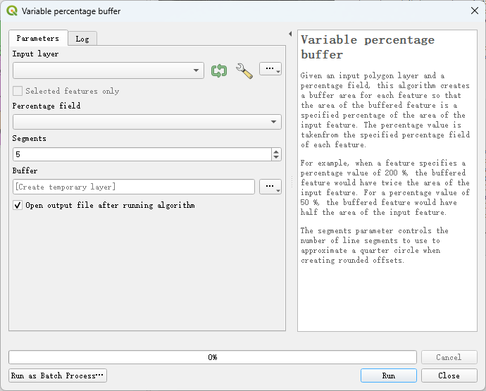
Finally, let me introduce the tool to realize this function. It is a QGIS plug-in called Buffer by Percentage. The plug-in provides two tools, the first tool is fixed ratio buffer ( Fixed percentage buffer), the input is a specified layer, and the required area ratio, and a new layer is output according to this ratio.

The second tool is a variable scale buffer ( Variable percentage buffer), the input is a specified layer, and a field of the input layer, the area ratio is determined by the field and a buffer is created for each feature, and finally a new map is output layer.
This is the whole content of this article. Although New Bing failed to solve our problem, it can be seen from its answers that its ability to search and summarize is still very strong, and it will definitely be even more powerful when used in daily work.