Article directory
1. DSTL Satellite Imagery Dataset/Kaggle Competition
Dataset introduction: The data of the data competition held by the Defense Science and Technology Laboratory (Defence Science and Technology Laboratory) on Kaggle. Consists of 3-band and 16-band visible light satellite imagery within 1 km x 1 km, with the goal of detecting the types of objects found in these areas.
Number of datasets: Contains two types of satellite image spectrum data, 3-band RGB natural light images and 16-band long-channel images, covering medium wave (400–1040nm) and shortwave infrared (SWIR) (1195-2365nm) ranges. The images are in GeoTiff format.
Download link: https://www.kaggle.com/c/dstl-satellite-imagery-feature-detection
2. Swimming Pool and Car Detection/Kaggle Competition

Dataset introduction: The Swimming Pool and Car Detection dataset is a dataset for detecting swimming pools and cars in satellite images. The training set contains 3748 images, and each image corresponds to an xml file, which records the bounding box information of the swimming pool and the car in the image.
Number of datasets: The dataset contains 3748 images
Download link: https://www.kaggle.com/kbhartiya83/swimming-pool-and-car-detection
3. SpaceNet Challenge 3 dataset
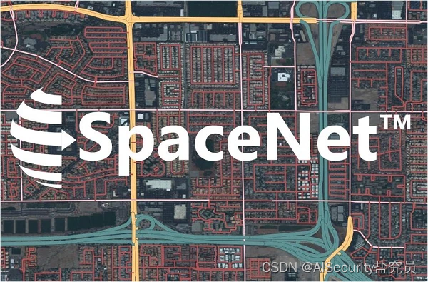
Dataset introduction: The SpaceNet Challenge 3 dataset is a remote sensing dataset collected by the DigitalGlobe Worldview-3 satellite in Moscow, Mumbai, San Juan and the fourth city (undisclosed), mainly for road network detection.
Number of datasets: The training data contains more than 2300 image patches, each image covers the ground about 400m x 400m.
Download link: https://www.topcoder.com/challenges/ef21526b-4dd8-47a9-a728-b438e02826b7
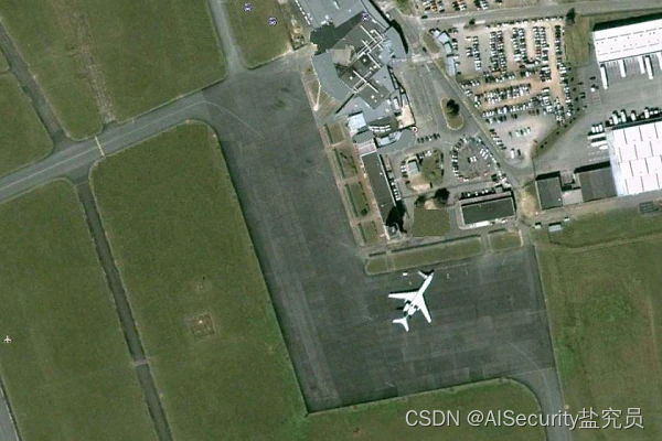
4. RarePlanes dataset
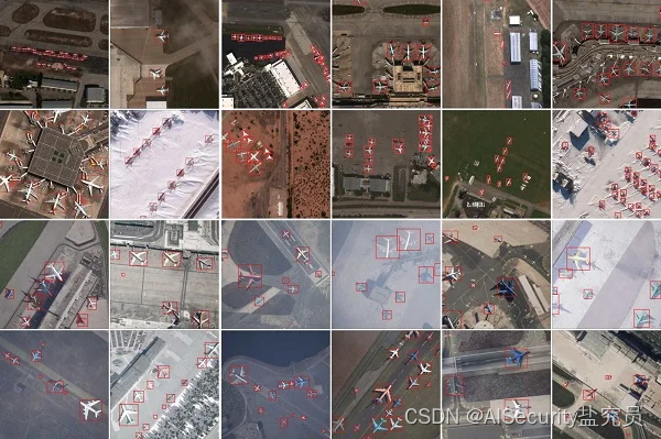
Dataset introduction: The RarePlanes dataset is a unique open source remote sensing dataset from CosmiQ Works, containing real and synthetically generated satellite images. RarePlanes is the largest publicly available ultra-high-resolution dataset to date, through a large amount of synthetic data that helps computer vision algorithms detect aircraft and their attributes in satellite imagery. The real part of the dataset consists of 253 Maxar WorldView-3 satellite scenes spanning 112 locations with annotation information for 14,700 aircraft, covering a total area of 2,142 km2. The synthetic dataset was generated through AI.Reverie's novel simulation platform, with 50,000 synthetic satellite images and approximately 630,000 aircraft annotations. Both real and synthetically generated aircraft have 10 fine-grained attributes including: aircraft length, wing span, wing shape, wing position, wing span, propulsion, number of engines, number of vertical stabilizers, presence of wings and aircraft category.
Number of datasets: The real data in the RarePlanes dataset contains annotation information for 14,700 aircraft, and the synthetic data contains annotation information for 630,000 aircraft.
Download link: https://www.cosmiqworks.org/RarePlanes/
5. BigEarthNet dataset
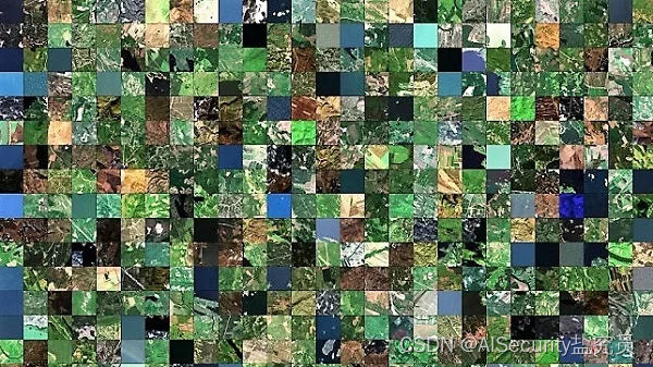
Dataset Introduction: The BigEarthNet dataset was constructed by the Remote Sensing Image Analysis (RSIM) Group, and the Database Systems and Information Management (DIMA) Group at the Technical University of Berlin. The dataset consists of 590,326 sets of Sentinel-1 and Sentinel-2 images, mainly selected from June 2017 to May 2018, in 10 European countries (Austria, Belgium, Finland, Ireland, Kosovo, Lithuania, Luxembourg, Portugal, Image composition in Serbia, Switzerland).
Number of datasets: The BigEarthNet dataset contains 590,326 sets of Sentinel-1 and Sentinel-2 images
Download link: http://bigearth.net/
6. NWPU VHR-10 dataset
Dataset introduction: A public 10-level geospatial object detection remote sensing dataset released by Northwestern Polytechnical University in 2014.
Number of datasets: 800 images in total, including 650 images of targets and 150 background images. Targets include: airplanes, ships, oil tanks, baseball fields, tennis courts, basketball courts, track and field fields, ports, bridges, vehicles 10 categories
Download link: https://pan.baidu.com/s/1G_HyEFjv6lq1hbT8JaZhPA , extraction code:0wa8
7. UC Merced Land-Use Dataset
Dataset introduction: A 21-class land use imagery remote sensing dataset for research purposes, released in 2010 by the UC Merced Computer Vision Lab.
Number of datasets: A total of 100 categories of images extracted from the USGS National Map Urban Area Imagery series of large-scale imagery for urban areas across the country. The pixel resolution of this public domain image is 1 foot. The image pixel size is 256*256, and it contains 21 types of scene images in total, each type has 100 images, a total of 2100 images.
Download link: http://weegee.vision.ucmerced.edu/datasets/landuse.html
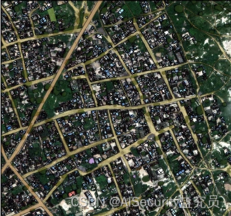
8.Inria Aerial Image Labeling dataset
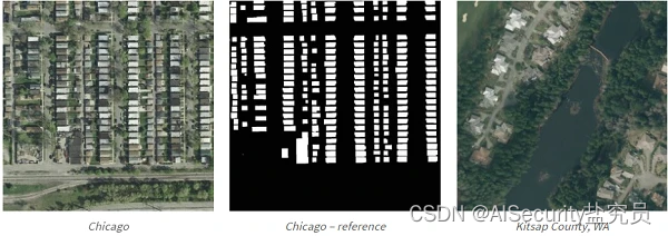
Dataset introduction: A remote sensing image dataset for urban building detection, marked with only two types of buildings/non-buildings, and at the pixel level, for semantic segmentation. This dataset was published by Inria in 2017.
Download link: https://pan.baidu.com/s/1G_HyEFjv6lq1hbT8JaZhPA , extraction code:0wa8
9. RSOD dataset
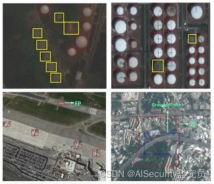
Dataset introduction: An open dataset for object detection in remote sensing images, including four types of targets: airplanes, playgrounds, overpasses, and oil barrels. It was released by Wuhan University in 2015.
Number of datasets: The numbers are: 4993 aircraft in 446 images, 191 playgrounds in 189 images, 180 overpasses in 176 images, 1586 oil barrels in 165 images
Download link: https://github.com/RSIA-LIESMARS-WHU/RSOD-Dataset