The data used this time are:
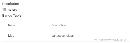
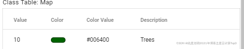
The European Space Agency (ESA) WorldCover 10 m 2020 product provides a 2020 map of global land cover at 10 m resolution based on Sentinel-1 and Sentinel-2 data. The WorldCover product has 11 land cover categories and was generated within the framework of the European Space Agency WorldCover project as part of the European Space Agency's Fifth Earth Observation Envelope Programme (EOEP-5).
Code:
var ext =
    /* color: #d63000 */
    /* shown: