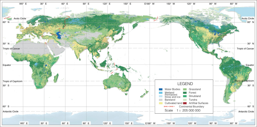
The GlobeLand 30 dataset contains ten main land cover types, namely cultivated land, forest, grassland, shrubland, wetland, water body, tundra, artificial surface, bare land, glacier, and permanent snow.
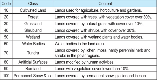
Types and codes included in GlobeLand30
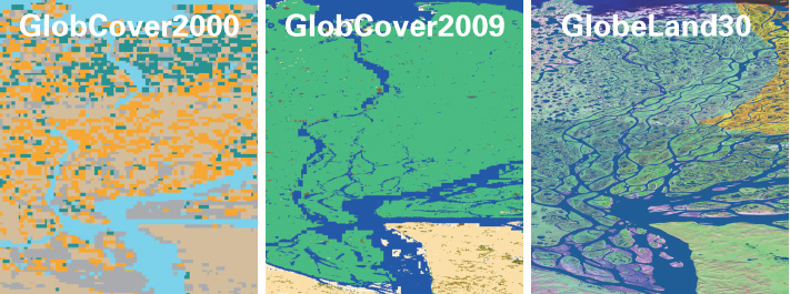
Comparison of global land cover at different resolutions
The 2000 and 2010 GlobeLand30 datasets can support the monitoring and analysis of land cover changes. The data set was developed by the same research team using the same classification method, which has good consistency and ensures the objectivity and accuracy of data analysis.
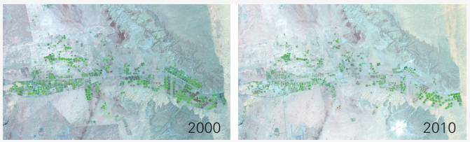
arable land
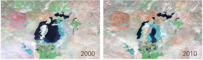
Changes in the waters of the Dead Sea