In the article "Your hometown is clearly visible, with 100% nationwide satellite image coverage!" , we shared with you a very convenient method to view high-definition satellite images of your hometown.
This satellite image data source is provided by Changguang Satellite. You can view it through the PC or Web side of the water course micromap, or you can load the satellite image into GIS software or your own GIS system.
The method is very simple. It only takes three steps to easily load a satellite image of the whole country.
Step 1: Register an account
Open the following URL to enter the login interface.
https://www.jl1mall.com/rskit/?agentCompany=SJZ&agent=fangfang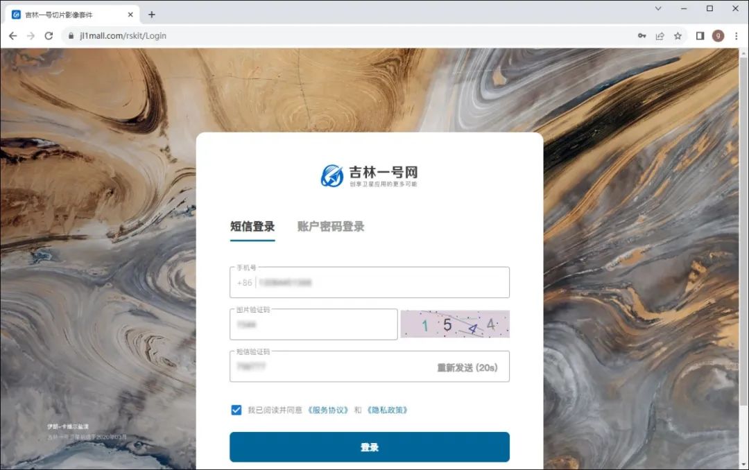
login interface
After registering and logging in through your mobile phone, click "Trial Trial Version" on the newly displayed page.
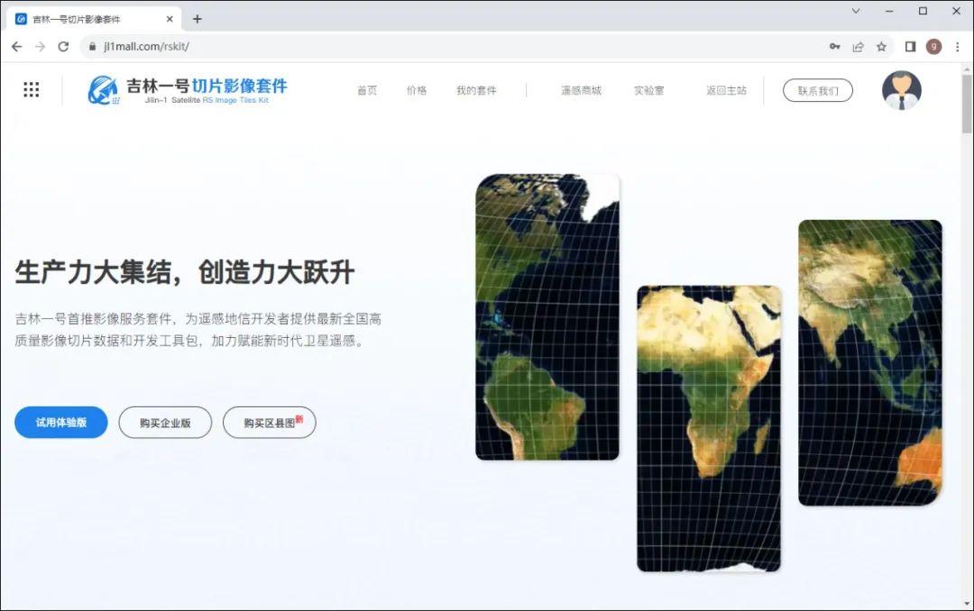
Try trial version
In the newly displayed page, make sure the "Trial Version" package is selected, as shown in the image below.
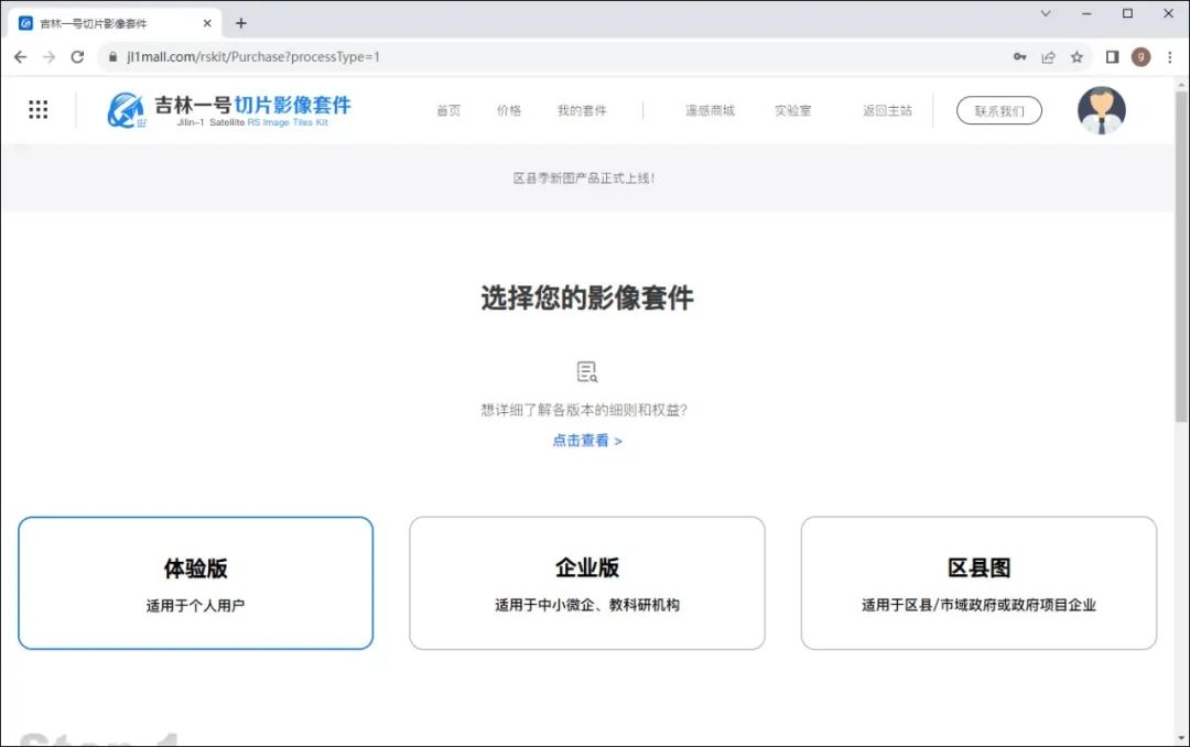
Select imaging package
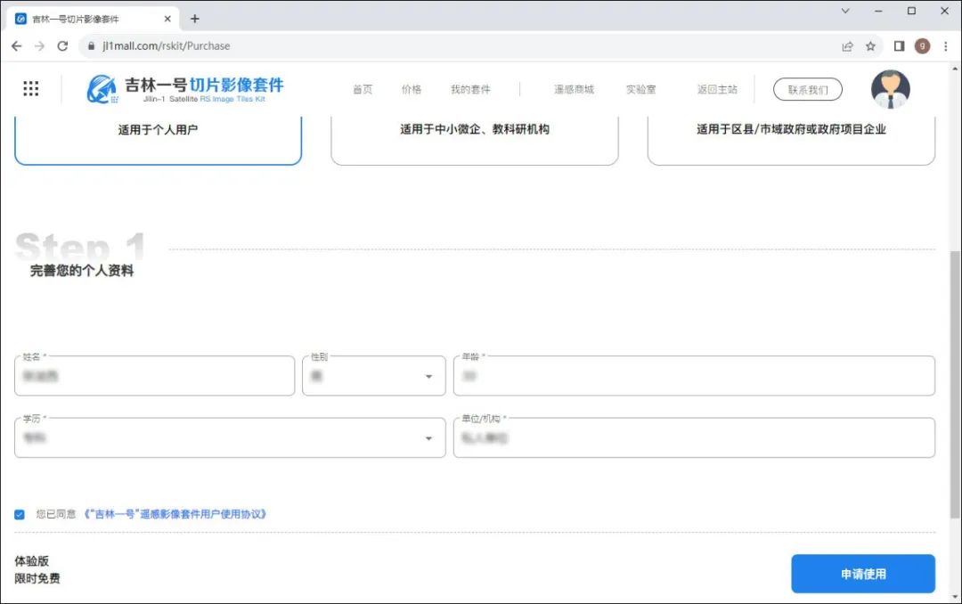
After scrolling the page, you need to fill in the basic information below, and then click the "Apply for Use" button, as shown in the picture below.
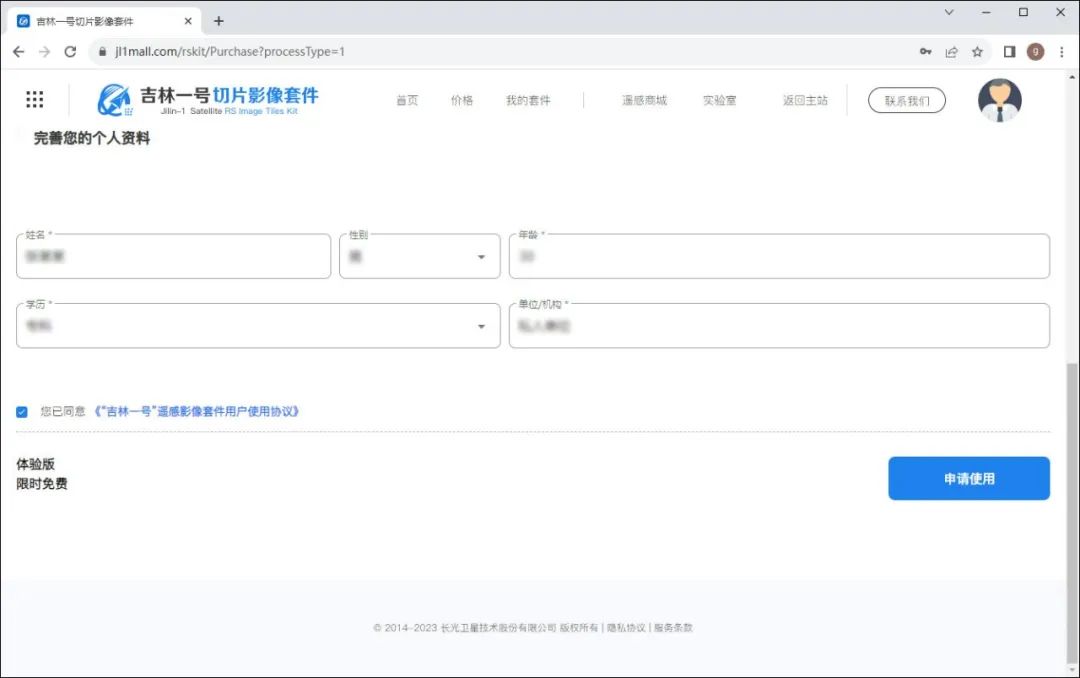
Apply for use
Since satellite remote sensing data has rich strategic value, in order to effectively increase the security management of user data and effectively protect users’ data ownership and usage rights, real-name authentication through Alipay is required, but your ID card information will not be recorded.
Therefore, this step only requires real-name authentication.
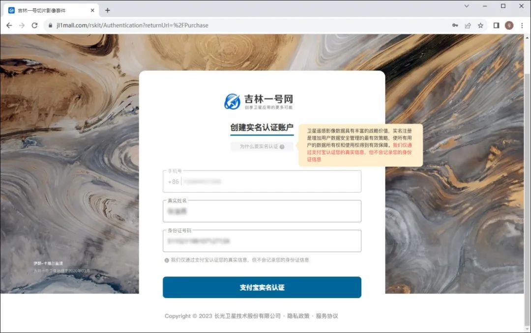
Verified
After opening Alipay, scan the QR code for authentication. The Alipay account holder is required to perform this step.
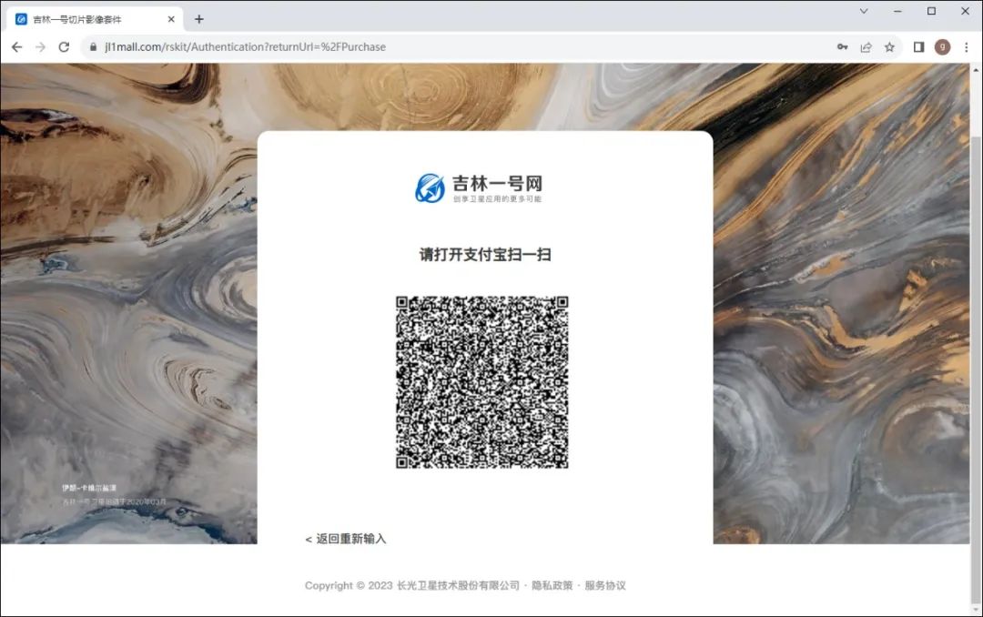
Scan code authentication
After scanning the QR code for authentication, you need to complete some basic information. You only need to fill in the required fields marked with *.
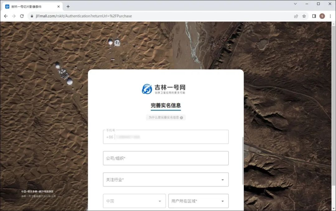
Improve real-name information
If the information is filled in normally, you only need to click the "Real Name Authentication" button at the bottom to complete it successfully.
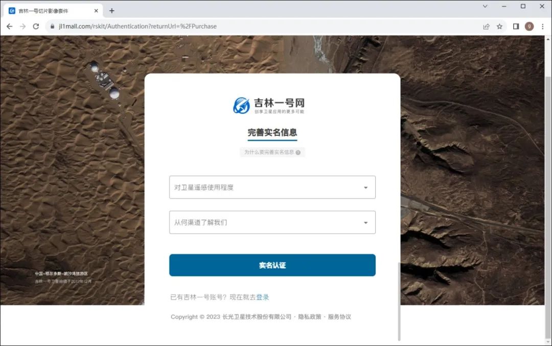
Verified
Step 2: Get the calling link
After the real-name authentication is completed, make sure that the currently selected image suite is the "trial version" on the automatically displayed page. What is a little unreasonable here is that some basic information needs to be filled in, and we have already filled in the details during registration. Reasonable optimization may be done later on.
After filling in the basic information, click the "Apply for Use" button.
Apply for use
After the application is completed, click "View Package Details" as shown in the figure below.
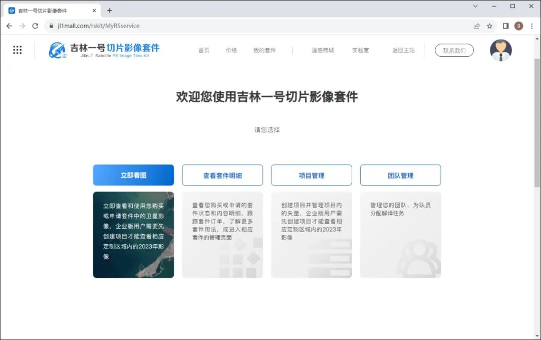
View package details
Then click "Package Management", as shown in the figure below.

Package management
TK and a series of MK are listed here, which may make people feel a little confused. In fact, just pay attention to the first two items, namely "Experience version TK" and "National high-quality one-map MK in the first quarter of 2022". Can.
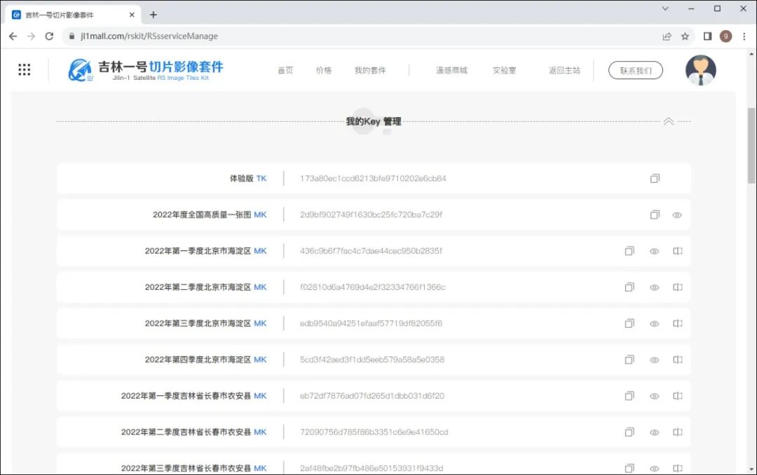
Get TK and MK
MK here can be understood as the server address of the map, and TK can be understood as the key. Both of these can be copied by clicking the copy button!
Then replace the MK value and TK value in the following addresses respectively.
https://api.jl1mall.com/getMap/{z}/{x}/{-y}?mk=MK值&tk=TK值The replaced link is similar to the following URL address.
https://api.jl1mall.com/getMap/{z}/{x}/{-y}?mk=2d9bf902749f1630bc25fc720ba7c29f&tk=173a80ec1ccd6213bfe9710202e6cb84Now, you have obtained your own ULR map link, and you only need to load it in the GIS software or development platform.
Step 3: Load in GIS software
Satellite images of the whole country can be loaded in GIS software, such as QGIS.
In QGIS, you only need to add the "XYZ Tiles" data source, that is, select "New Connection" in the right-click menu of the data to add a new image source, as shown in the figure below.
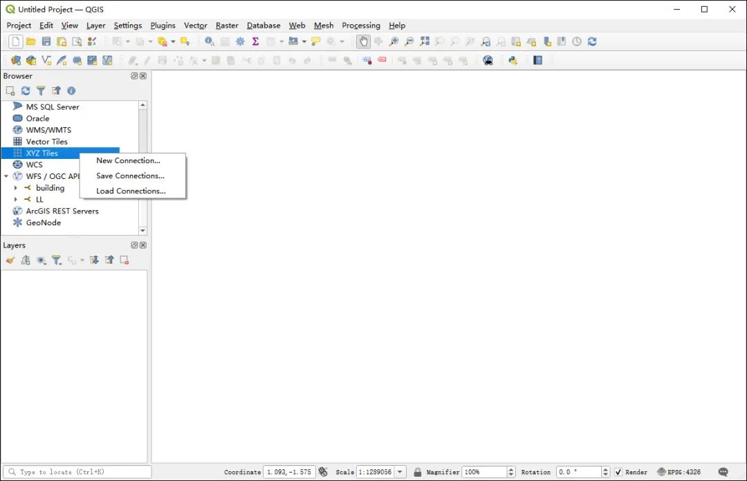
Add new image source
Copy the map URL link into the input box corresponding to the URL. You can choose the name of the map. Here, it is named "Satellite Imagery of the Whole Country", as shown in the figure below.
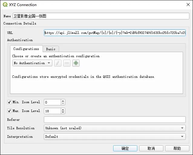
Fill in the URL address
After the data source is added successfully, double-click the new image source added under "XYZ Tiles". After the data source is added successfully, you can browse the satellite images. The effect is as shown in the figure below.
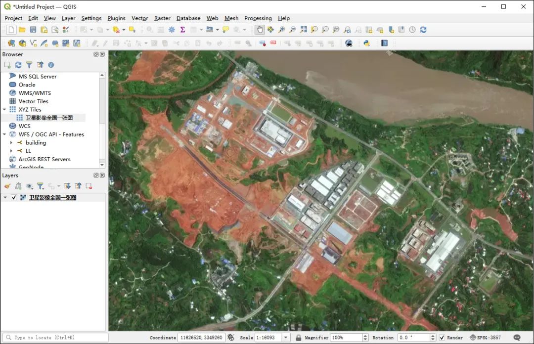
Loading effect in QGIS
It should be noted that this map calling interface does not currently support loading in ArcMap because the -y parameter is not supported, but it does support calling in the ArcGIS JS API or GeoScene Portal / ArcGIS Portal.
write at the end
In addition to loading the satellite image map of the country in GIS software, it also supports loading in OpenLayers, Cesium, or MapBox.