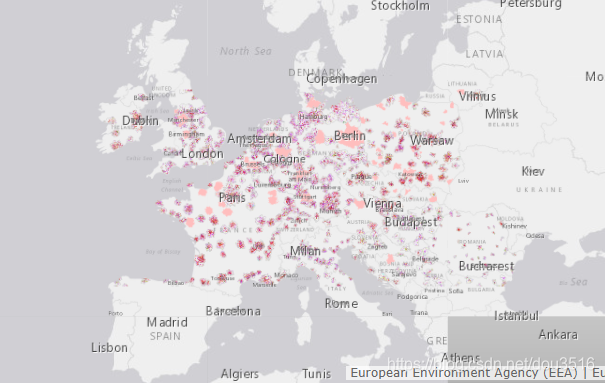
欧洲环境局提供了时序10米分辨率的主要城市地表覆盖变化数据集(Urban Atlas LCLU Chang)。
The European Urban Atlas provides reliable, inter-comparable, high-resolution land use and land cover data for 785 Functional Urban Area (FUA) for the 2018 reference year in EEA39 countries. The spatial data can be downloaded together with a map for each FUA covered and a report with the metadata for the respective area. Additional information (product description, mapping guidance and class description) can be found here
Commission Directorate-General for Regional and Urban Policy and the Directorate-General for Enterprise and Industry in the frame of the EU Copernicus programme, with the support of the European Space Agency and the European Environment Agency.(参考2012-2018变化数据集元数据)
城市分布示意:
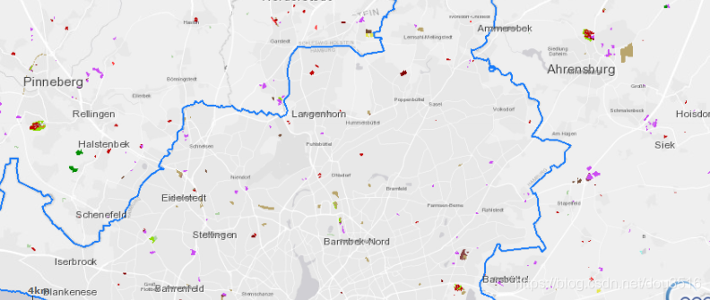
区域变化示意:
变化矢量数据下载:
影像可以使用EEA提供的正射影像

或更高分辨率(0.5米)的IGN数据
https://geoservices.ign.fr/documentation/diffusion/telechargement-donnees-libres.html#bd-ortho-50-cm